Central Province
The Central Province is located in the central hills of Sri Lanka comprising of three administrative districts:Kandy, Matale and Nuwara-Eliya. The land area of the Province is 5,575 km2 which is 8.6% of the total land area of Sri Lanka. The Province lies on 6.6°- 7.7° northern latitudes and between 80.5°-80.9° eastern longitudes. The elevation in the province ranges from 600 ft to over 6000 ft above the sea level. The province is bordered on the north by the North-Central Province, on the east by the River Mahaweli,on the south by Uma Oya and the mountain range of Adam’s Peak, Kirigalpotta and Thotapala and on the west by the mountain ranges Dolosbage and Galagedera.
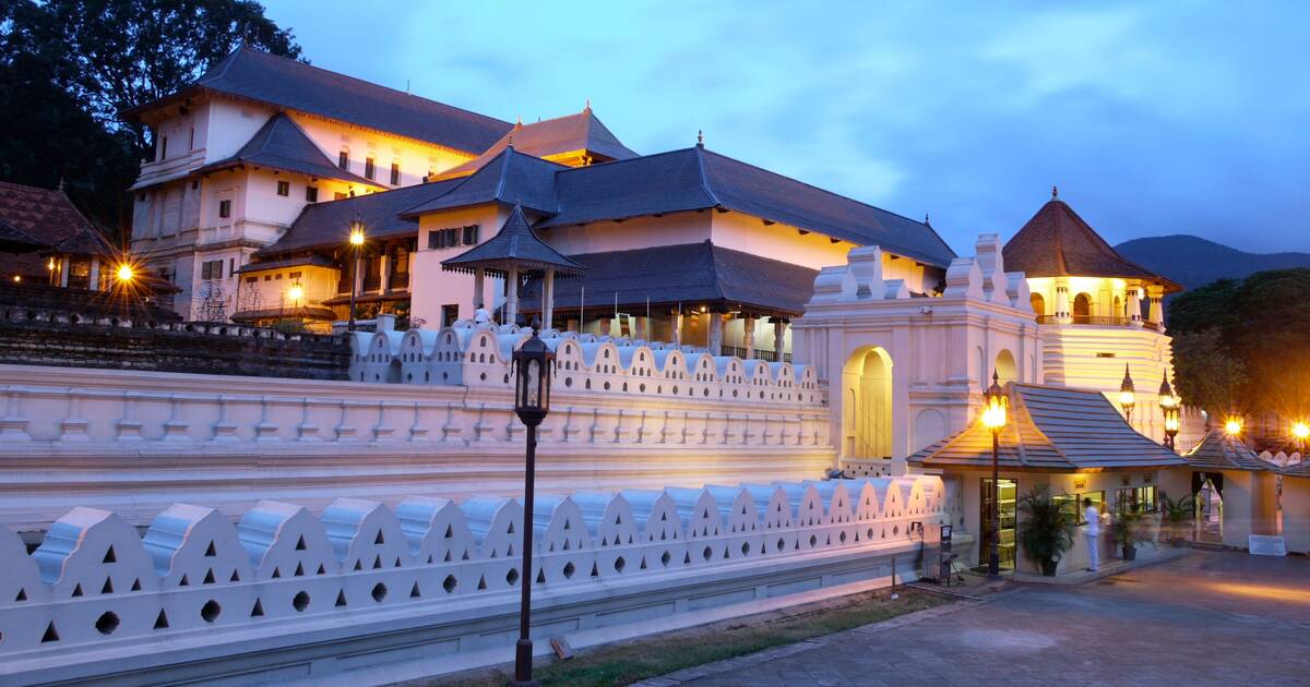
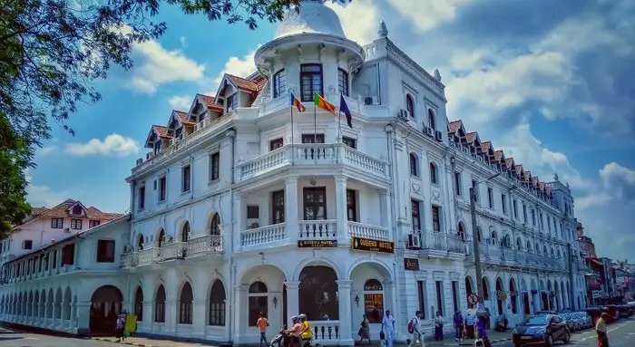
Kandy is the second largest city in Sri Lanka and the main city of the Central Province as well as the Kandy District and this ancient city lies at an elevation of 465 metres (1,526 ft) above the sea level. Kandy is the last capital of the ancient kingdom in Sri Lanka. It is one of the most sacred cities in Sri Lanka because of the Temple of the Sacred Tooth Relic and also is one of the most beautiful cities in the island. The city is surrounded by verdant mountains and the lake and the adjacent Temple of the Sacred Tooth Relic add more beauty to the city. 
On the north shore of the lake, which is enclosed by a parapet of white stone dating to the beginning of the 19th century, are the city’s official religious monuments, including the Temple of the Tooth, known as Dalada Maligawa and the Royal Palace. Reconstructed in the 18th century, the Dalada Maligawa is built on a base of granite that was inspired by the temples of Sri Lanka’s former capital city, Anuradhapura. Arrays of materials contribute to the richness of this temple.
Throughout this small sacred city, a number of Buddhist monasteries can be found. Kandy is located in the mountainous and thickly forested interior of the island in between multiple mountain ranges including the Knuckles mountain range and the Hantana mountain range, giving the city an elevation of 500 metres above the sea level. It lies adjacent to the artificial Kandy Lake and to the south of Udawattakele Sanctuary .

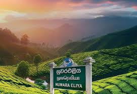
Nuwara-Eliya that means “city of light” is a town in the central highlands of Sri Lanka with a picturesque landscape and temperate climate. Nuwar-Eliya which is the main city of the Nuwara-Eliya District is located at an altitude of 1,868 m (6,128 ft) and is considered to be the most important location for tea production in Sri Lanka.
The town is located overlooking Piduruthalagala, the tallest mountain in Sri Lanka. Due to the high altitude, Nuwara-Eliya has a much cooler climate than the lowlands of Sri Lanka, with a mean annual temperature of 16 °C. But the temperature changes and sometimes it can be as low as 3°C. In December, Januaryand February it is quite cold at night, and there can even be frost but it rapidly warms up as the tropical sun climbs higher during the day.

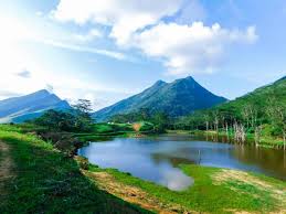
Matale District, located in the center of Sri Lanka, is a mesmerizing location that skillfully combines nature and culture. The neighborhood of Matale town, which is home to the venerable Alu Viharaya temple, is filled with the hushed chants of antiquity. Hikers and adventurers have the chance to discover the untamed beauty of the beautiful Knuckles Mountain Range, which is a UNESCO World Heritage Site. In this picturesque setting, tea plantations cover the hills, yielding some of the best tea in the world. The tranquility of Alu Viharaya, the breathtaking attractiveness of Knuckles Mountain, and the attraction of tea plantations are woven together in Matale District to create an extraordinary tapestry of experiences.
